

Upper Yango Landholders Association Inc.
From little things, big things grow.
Upper Yango sits at the headwaters of Yango Creek, in the Wollombi Valley, north of Sydney, on the traditional lands of the Darkinjung people.
To the west is Yengo National Park and the culturally significant Mt Yengo.
We pay our respects to the spirits of the Darkinjung. We mourn their passing and acknowledge the atrocities of colonisation that caused their demise.
In December 2019, at the height of Black Summer, the Little L and Gospers Mtn bushfires devastated our small community.
This website tells the story of a little community that roared back from the largest fire in recent history and how Upper Yango became a role model for likeminded communities everywhere.

In December 2019, Upper Yango was impacted by both the Little L bushfire and the monstrous Gospers Mountain Fire complex, as it became known. The largest “mega fire” in the state’s colonial history.
Acknowledging the bushfires were devastating, they were also the catalyst that brought a disparate community together to form The Upper Yango Landholders Association and the innovative Fire and Ecology Restoration Project that resulted.
Fire

The destructive force of water rushing towards the sea is rarely seen in our valley. The floods in 2020 and 2022 were at historic highs. The water ripped apart creek banks, scoured unprecedented washouts and deposited tons of sediment where it wasn’t wanted. Bridges washed away, creek crossings rendered impassable and the roads were miserable sinkholes of mud. It was all a total mess.
Flood
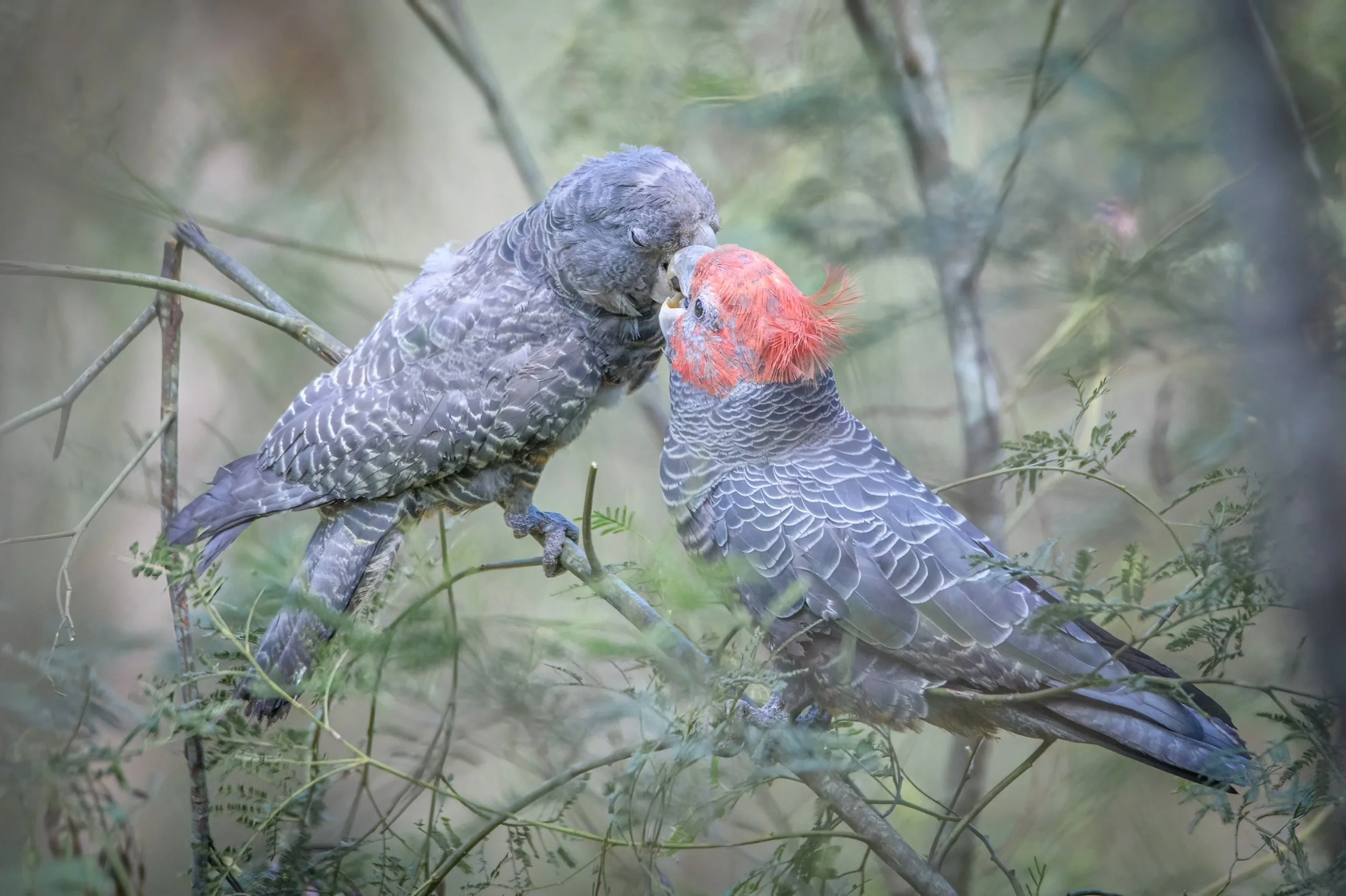
The Black Summer bushfires that devastated tens of thousands of hectares of native forest on Australia’s east coast and beyond were responsible for some of the worst wildlife fatalities in recent history. It is estimated as many as 1 billion native faunae perished in the flames. In the ashen landscape that remained, many more struggled to survive
Fauna

To gain a better understanding of the botanical makeup of the Upper Yango Valley, the UYLA commissioned extensive surveys of the plant communities in the valley.
Flora

No one likes to shlep through the mud to get to their property. It’s no less so than for emergency vehicles.
In Upper Yango, a crossover between the Council maintained road and private roads and creek crossings, is an all too common problem for rural residents.
Roads
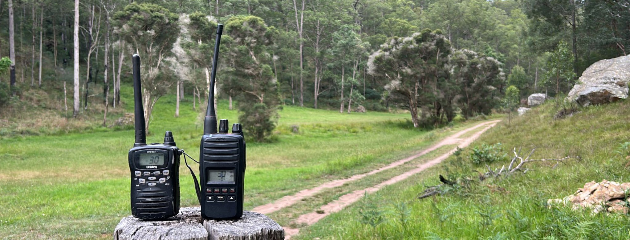
In an emergency situation, reliable mobile communication is an absolute necessity. Sharing information in real time is essential. In dangerous situations, it can save lives.
Communication

In an emergency, be that a bushfire, flood or medical, helicopters are the quickest and often safest evacuation transport. They can also be used for resupplying crews on the ground.
Registering safe, clear places to land with emergency service can speed the process.
Emergency

UYLA commissioned aerial mapping of the Upper Yango valley including high-definition imaging and LiDAR.
Mapping

“The most valuable assets in an emergency are your neighbours”. Getting together as a community breaks down barriers, helps build positive connections and fosters a greater sense of shared resource and support.