
Emergency Warnings and Information
Apps, Chats & Conversations
Chat Groups
Mobile Apps
Today there area number of very useful Apps to help us stay better informed.
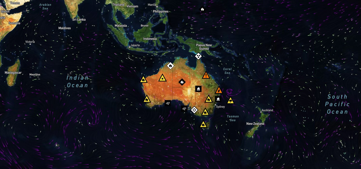
Emergency information apps like Hazards Near Me, Bushfire.io, the Bureau of Meteorology app, and those from the State Emergency Service and Rural Fire Service provide real-time alerts on natural disasters, severe weather, and bushfires. These apps help users stay informed, prepare for emergencies, and make timely decisions to protect lives and property. With features like live updates, evacuation alerts, and safety advice, they are essential tools for disaster preparedness and response.
Keeping up with a rapidly changing situation in an emergency can be difficult.
The best source is often your community. Whether its smoke in the air or road closure, very often there will be people posting in your local Facebook page. If you have a neighbourhood Chat Group like WhatsApp or Messenger, that can be a way to disseminate information in your area. In these situations, local information usually flows quickly and can be a big support if matters deteriorate and you need a hand or want to join the crew.
Your local RFS and SES will often have Facebook pages where they post regular updates in emergencies. Its worth keeping an eye on these when trouble is at hand.


Here are a few we recommend to keep you better informed
Hazards Near Me
This is the first on the list and most people in the bush are already connected and getting updates related to their registered watch zone to their mobile.
The Hazards Near Me app helps you stay informed during emergencies by providing real-time alerts on bushfires, floods, storms, and other hazards in your area. It sends official warnings, evacuation notices, and safety advice, allowing you to make quick, informed decisions. With location-based tracking, you receive updates specific to your surroundings, ensuring you know when to take action. The app also offers preparedness tips, helping you stay safe before, during, and after an emergency
For those in more remote areas without mobile coverage, it can cause delays in getting the latest news. For fire crews working in remote areas and needing to upload the latest data, delays are inevitable
Bureau of Meteorology
Everybody knows this one. Keep your fingers crossed and hope for rain or sunshine.
The Bureau of Meteorology plays a crucial role in emergencies by providing real-time weather warnings, forecasts, and alerts for severe events like cyclones, floods, and bushfires. Its data helps emergency services and communities prepare, respond, and stay safe. Accurate updates enable timely evacuations, risk assessments, and disaster mitigation strategies.
What3Words
What3Words is a location-based service that divides the world into a grid of 3m x 3m squares, with each square assigned a unique combination of three words. This system makes it easier to pinpoint specific locations, especially in places that don't have traditional addresses.
Instead of providing a long string of coordinates like GPS latitudes and longitudes, What3Words offers an address made up of three simple words. An example might look like "apple.banana.orange" – when entered into the What3Words app or website, it will point to a precise location. Much easier to remember and easier to communicate to Triple 000 in an emergency.
Bushfire.io
Bushfire.io is a comprehensive platform offering real-time updates on natural disasters, including fires, floods, storms, and cyclones, across Australia, the US, and Canada. It integrates data from various sources to provide users with information on hazards, road closures, and weather conditions, aiding informed decision-making during emergencies.
Red Cross - Get Prepared
Get Prepared is an easy-to-use app that empowers you to make important decisions ahead of time by completing your RediPlan. Co-created by Australian Red Cross and NRMA Insurance, it helps you create a personal emergency plan, so you can take care of yourself, your loved ones, and what's important to you.
Emergency Plus
The Emergency+ app is a free app that helps you call emergency services and share your location with emergency services. It's available for iOS, Android, and Windows devices.
The Emergency Plus app uses your phone's GPS to pinpoint your location and provides it as GPS coordinates and what3words. It helps you call Triple Zero (000), SES (132 500), or the Police Assistance Line (131 444) and gives details on nearby emergency services. This app is essential for quick emergency response, ensuring you call the right number and helping responders find you faster. It also assists with non-emergency calls, directing you to the correct service.
My Lightning Tracker & Alerts
My Lightning Tracker is an app for monitoring lightning strikes all around the world in close to real-time. You can watch thunderstorms as they occur. You can also receive notifications whenever strikes are detected in your area.
RFS Buddy
RFS Buddy translates your GPS location into the main RFS MGRS standard, including the LPI Map name and number. Also includes a number of other formats, and a Fire-ground Field Notes feature to record reference points of interest such as hazards, smoke etc.


