

Fire Trails
No one wants to be trapped with no way out. Having emergency detours around trouble spots is definitely a good idea.
The 2019 bushfires destroyed the house at Rocky Arm (299). At the time, the only access, via a heavily wooded track, was deemed too hazardous for fire crews, due to the risk of entrapment. In response, a previously disused fire trail was reopened, linking The Labyrinth (277) to the Rocky Arm gully west of the homestead. This now provides an alternative entry and evacuation route for residents and fire crews in future emergencies.
Two ways in and out


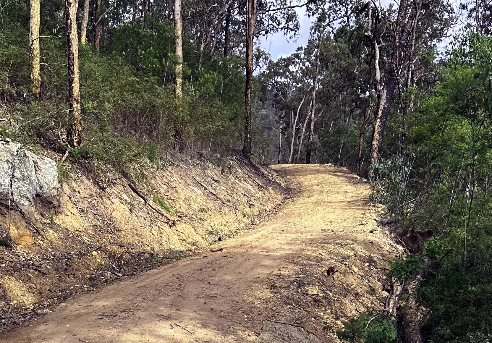
During the flood events of 2020 and 2022, residents in both North and South Arms became isolated, whilst those trapped further east, on the southern side of the creek, were able to navigate through neighboring properties to reach the bridge at Ironbark (333). To provide safe access to properties west of the Ipakey Crossing, a new fire trail has been constructed. This trail connects an existing trail at Olivers (553), traverses the hillside via a section of Wombat Gully (576), and links up with The Poplars (736). The new route provides residents of both North and South Arms with access to the Mahogany Bridge at Ironbark and Upper Yango Creek Road, at the lower end of the valley.
It may not always be necessary to have full vehicular access. In some situations, it may be enough to have a good walking track. Consider using a wheelbarrow to move supplies and equipment in and out.


Walking tracks can also double up as a containment lines.
If the containment line is capable of being maintained by a ride-on mower, hitching a garden trailer to the mower can make it even easier.